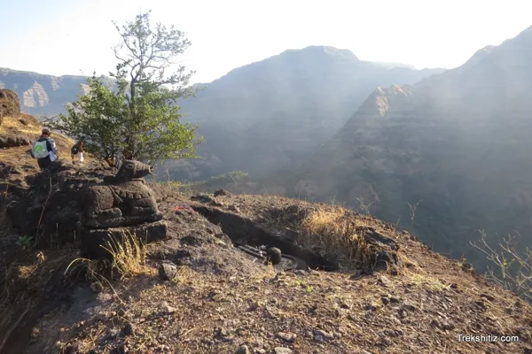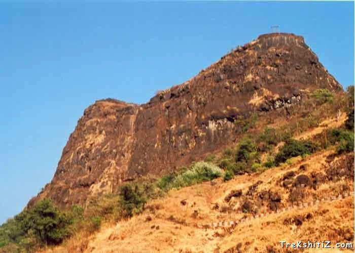
Chambhargad — documentary photograph

Raigad / Hill fort

Chambhargad

There are many forts in the mountain range nearby Raigad, which mainly includes Lingana, Kaldurg, Songad and Chambhargad. These forts were basically built for keeping an eye on the nearby area. Chambhargad is very near to Mahad.

View 8 photographs ↘Documentary photograph
Trekshitiz photo archive; individual photographer not supplied · Original source · Used with permission confirmed by the site owner

YOUR EXPLORATION, AT A GLANCE

ModerateVisit

A worthwhile local heritage study in Raigad; consult the source account to understand the remains and confirm access.

View on map ⌖

District
Raigad
Base / nearby village
Not yet verified
Nearby city
Not yet verified
Source elevation
Not documented

Location evidence needed to compare nearby cities.

THE STORY BEHIND THE STONE

Why Chambhargad
matters.

There are many forts in the mountain range nearby Raigad, which mainly includes Lingana, Kaldurg, Songad and Chambhargad. These forts were basically built for keeping an eye on the nearby area. Chambhargad is very near to Mahad.

Rulers & historical periods +

Individual ruling powers have not been established in this entry.

Recorded possession intervals may omit changes of control. Exact uninterrupted durations are not assumed from a ruler’s reign.
READING THE REMAINS

Architecture &
fort features.

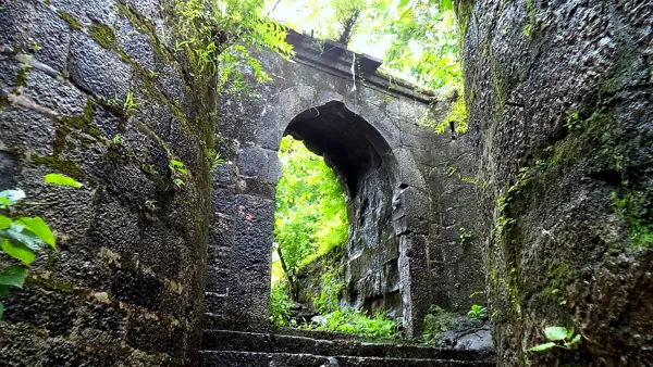
Explore features described in the historical source. Their surviving condition and access can vary.

Architectural features await a reliable, fort-specific account.

Feature inventory only. A surveyed top-down plan is not yet available in this guide.

KNOW THE APPROACH

Plan your
exploration.

Moderate
  • The source assigns this grade but does not provide enough route detail to explain individual obstacles.

Firstly you have to reach to Mahad. Then you have to cross the Mahad-Poladpur Highway and reach the base village Chambharkhed. It will merely take 20 mins from Mahad S.T. depot. From the Khind or the valley you will reach the top of the fort within an hour.

Assessment & safety notes +

Approach described in the linked field guide. Provisional — source guide, current conditions unverified.

Confirm access, weather and the appropriate route locally. Carry water and protect historical remains.

Source review: 2026-11-15. Stars describe route difficulty; recommendations are separate editorial judgements. No community review counts are displayed.

KEEP THE JOURNEY GOING

More of Raigad.

All forts ↗
Research sources & image credits +
  1. Trekshitiz — fort history and route guide ↗

Source review: 2026-11-15. Coordinates: Not verified.

Research approach and credits ↗