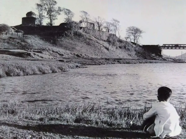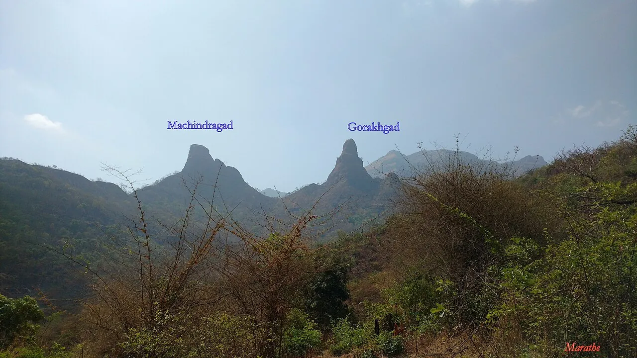
Gorakhgad — documentary photograph

Thane / Hill fort

Gorakhgad

Hill fort in Thane, within the Konkan region of Maharashtra.

View 5 photographs ↘Documentary photograph
Ccmarathe · Original source · CC BY-SA 4.0

YOUR EXPLORATION, AT A GLANCE

ModerateRecommended

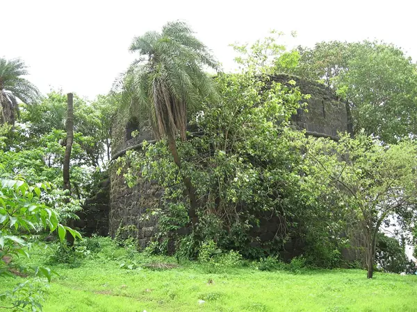
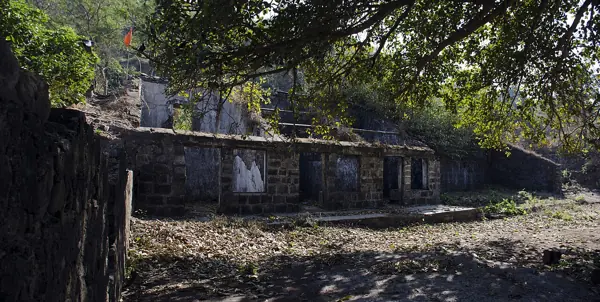
The source describes rock-cut cisterns, temple remains, gateways, offering a useful introduction to this fort’s architecture.

View on map ⌖

District
Thane
Base / nearby village
Not yet verified
Nearby city
Mumbai
Source elevation
649.22 M(2130 Ft)

Closest among 11 listed regional hubs by straight-line distance; not road distance. 71 km to the listed city.

THE STORY BEHIND THE STONE

Why Gorakhgad
matters.

Gorakhgad Fort is a fort located 24 km from Murbad, Thane district, of Maharashtra. This fort is an important fort…

A short excerpt from the linked source account. A fuller editorial history is still being researched.

Rulers & historical periods +

Individual ruling powers have not been established in this entry.

Recorded possession intervals may omit changes of control. Exact uninterrupted durations are not assumed from a ruler’s reign.
READING THE REMAINS

Architecture &
fort features.

Explore features described in the historical source. Their surviving condition and access can vary.

01Rock-cut cisterns +

Rock-cut cisterns is recorded in the linked account of Gorakhgad. Explore the historical sources ↗

02Temple remains +

Temple remains is recorded in the linked account of Gorakhgad. Explore the historical sources ↗

03Gateways +

Gateways is recorded in the linked account of Gorakhgad. Explore the historical sources ↗

04Caves +

Caves is recorded in the linked account of Gorakhgad. Explore the historical sources ↗

Feature inventory only. A surveyed top-down plan is not yet available in this guide.

KNOW THE APPROACH

Plan your
exploration.

Moderate
  • The source assigns this grade but does not provide enough route detail to explain individual obstacles.

Detailed routes are not verified. Consult the source guide and confirm access locally.

Assessment & safety notes +

Approach described in the linked field guide. Provisional — source guide, current conditions unverified.

Check current local access and weather before travelling. Carry water, use established routes, and leave stonework undisturbed. A map pin identifies the monument, not a safe trailhead or landing point.

Source review: 2026-11-15. Stars describe route difficulty; recommendations are separate editorial judgements. No community review counts are displayed.

KEEP THE JOURNEY GOING

More of Thane.

All forts ↗
Research sources & image credits +
  1. Gorakhgad — history, geographical facts and references ↗
  2. Trekshitiz — field guide and source trek information ↗

Source review: 2026-11-15. Coordinates: Source-referenced.

Research approach and credits ↗