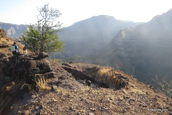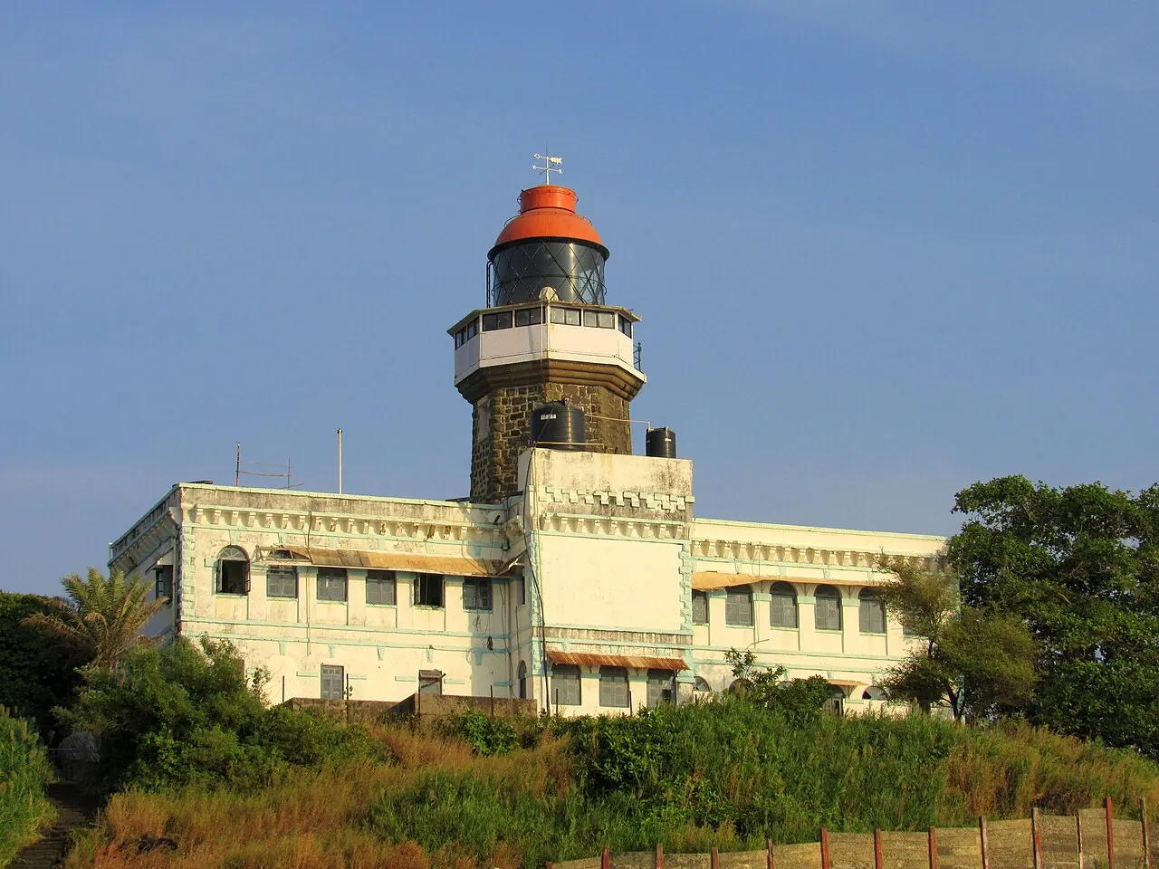
Khanderi — documentary photograph

Raigad / Sea fort

Khanderi

Sea fort in Raigad, within the Konkan region of Maharashtra.

View 7 photographs ↘Documentary photograph
Anand Ranade · Original source · CC BY-SA 4.0

YOUR EXPLORATION, AT A GLANCE

EasyMost Recommended

Its documented role in the Maratha fort network gives it exceptional educational and historical value.

View on map ⌖

District
Raigad
Base / nearby village
Not yet verified
Nearby city
Mumbai
Source elevation
0 Ft (field-guide source)

Closest among 11 listed regional hubs by straight-line distance; not road distance. 42 km to the listed city.

THE STORY BEHIND THE STONE

Why Khanderi
matters.

Shivaji Maharaj selected the island of Khanderi to fortify it to keep a check on the British trade route to Mumbai and northward ports. He tried building the fort in 1672, but the British were sceptical and tried to siege the fort. The Marathas retreated, only to return back in 1679. Under the leadership of Maynak Bhandari, 150 men were garrisoned on Khanderi to complete the fortification. The English warned the Marathas, who did not pay heed to them. The Marathas continued their work without hindrance. The British then deputed their warships to block the supplies to the Marathas and stop their work.The Marathas till then had improvised a lot…

The historical source discusses Shivaji Maharaj; see the linked account for the specific episode.

Rulers & historical periods +

Maratha, Siddi, British / East India Company

Maratha Empire (1679-1818) United Kingdom East India Company (1818-1857) British Raj (1857-1947) India (1947-) (source infobox; intervals are approximate and may omit changes of possession)

Recorded possession intervals may omit changes of control. Exact uninterrupted durations are not assumed from a ruler’s reign.

A PLACE WITHIN THE LARGER STORY

Turning points.
1679
Khanderi — documentary photographExplore Khanderi ↗

Kingship and administration

Khanderi and the contest for coastal waters

Khanderi lies off the coast south of Mumbai. Chhatrapati Shivaji Maharaj’s forces occupied the island in 1679. Maynak Bhandari is associated with its early fortification. The position mattered to movement along the northern Konkan coast. Its occupation drew opposition from nearby maritime powers. Maratha defenders had to bring men and supplies across open water. The island became a lasting Maratha naval stronghold. Later confrontations included an East India Company attack in 1718. The lighthouse belongs to a later British phase of the island’s history. Khanderi reveals how a small island could carry large strategic importance.
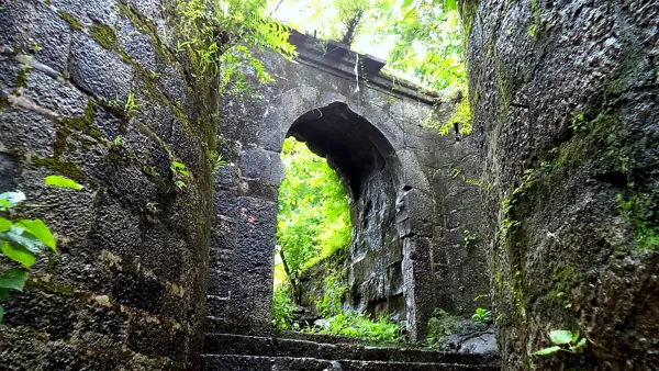
Read full story

Khanderi is a small island whose position gave it significance beyond its size. In 1679, forces of Chhatrapati Shivaji Maharaj occupied and fortified it, with Maynak Bhandari associated with the undertaking. The island lay within a coastal world influenced by the Siddis, the English at Bombay and other regional powers. Establishing a Maratha position there therefore affected more than the island itself: it altered the balance around nearby sea routes.

The practical challenge was to maintain a garrison in a place reached only by water. Fortifying an island required the movement of workers, provisions and building material while opponents sought to prevent the position from becoming secure. Khanderi’s history consequently joins construction to naval operations. Its defensive value came from the combination of location, walls, boats and the people able to operate between shore and island.

Khanderi remained important after the lifetime of Chhatrapati Shivaji Maharaj. An East India Company expedition against it in 1718 failed, demonstrating the continued importance of Maratha coastal bases in the eighteenth century. That later event belongs to a different political moment and should not be merged into the original campaign of 1679. The fort’s long history includes changing commanders and arrangements of authority, not a single uninterrupted episode under one individual.

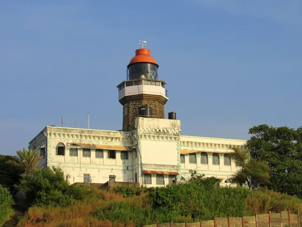
The lighthouse visible today is a later addition from the British period. Distinguishing it from the earlier fortifications helps visitors read the island’s successive layers accurately. The modern name Kanhoji Angre Island commemorates the Maratha admiral, while the foundation of the fort is linked to Chhatrapati Shivaji Maharaj’s maritime policy. The site is an especially clear example of how strategic geography could make a modest area of rock an important part of a much larger system of coastal defence.

Khanderi ↗

Sources: Kolaba Gazetteer — Khanderi, Khanderi — historical account and references

READING THE REMAINS

Architecture &
fort features.

Explore features described in the historical source. Their surviving condition and access can vary.

01Temple remains +

Temple remains is recorded in the linked account of Khanderi. Explore the historical sources ↗

Feature inventory only. A surveyed top-down plan is not yet available in this guide.

KNOW THE APPROACH

Plan your
exploration.

Easy
  • Access includes a boat crossing; this is separate from walking difficulty.

Thal town is located at about 8 km north of Alibaug, and the diversion to Thal is 4 km away from Alibaug on Alibaug Revas road. ST buses ply regularly between Alibaug and Thal. We can hire small boats from Thal beach, owned by local fishermen who take us to…

Assessment & safety notes +

Approach described in the linked field guide. Provisional — source guide, current conditions unverified.

Check current local access and weather before travelling. Carry water, use established routes, and leave stonework undisturbed. A map pin identifies the monument, not a safe trailhead or landing point.

Source review: 2026-11-15. Stars describe route difficulty; recommendations are separate editorial judgements. No community review counts are displayed.

KEEP THE JOURNEY GOING

More of Raigad.

All forts ↗

MAHARASHTRA TOURISM · BROCHURE GUIDE

Khanderi: heritage & nearby places

Khanderi, also called Kanhoji Angre Island, guarded approaches to Mumbai Harbour alongside nearby Underi. The brochure contrasts Maratha-held Khanderi with Siddi-held Underi and highlights the later lighthouse.

Landmarks to look for

  • Kanhoji Angre Lighthouse
  • Island fortifications

Places in the wider area

  • Kihim Beach
  • Kanakeshwar Devasthan
  • Alibaug Beach
  • Kanhoji Angre Samadhi
  • Nagaon Beach
  • Akshi Beach

Brochure activity ideas: Boat trips and coastal nature observation, subject to permission.

Travel distances from the brochure

Distances are reproduced as brochure figures, not current measured routes. The brochure is undated. Confirm routes and access locally.

By air
Mumbai 100 km
By rail
Pen 30 km
By road
Pune 150 km; Mumbai 100 km

Source clarification: The brochure’s 22-foot lighthouse height is not independently verified; boat availability, fishing and water sports require local confirmation.

Adapted from Maharashtra Tourism, Guardians of History — The formidable forts of Maharashtra, PDF pages 9. Read the original PDF ↗ · Explore all brochure forts ↗

Research sources & image credits +
  1. Khanderi — history, geographical facts and references ↗
  2. Trekshitiz — field guide and source trek information ↗

Source review: 2026-11-15. Coordinates: Source-referenced.

Research approach and credits ↗