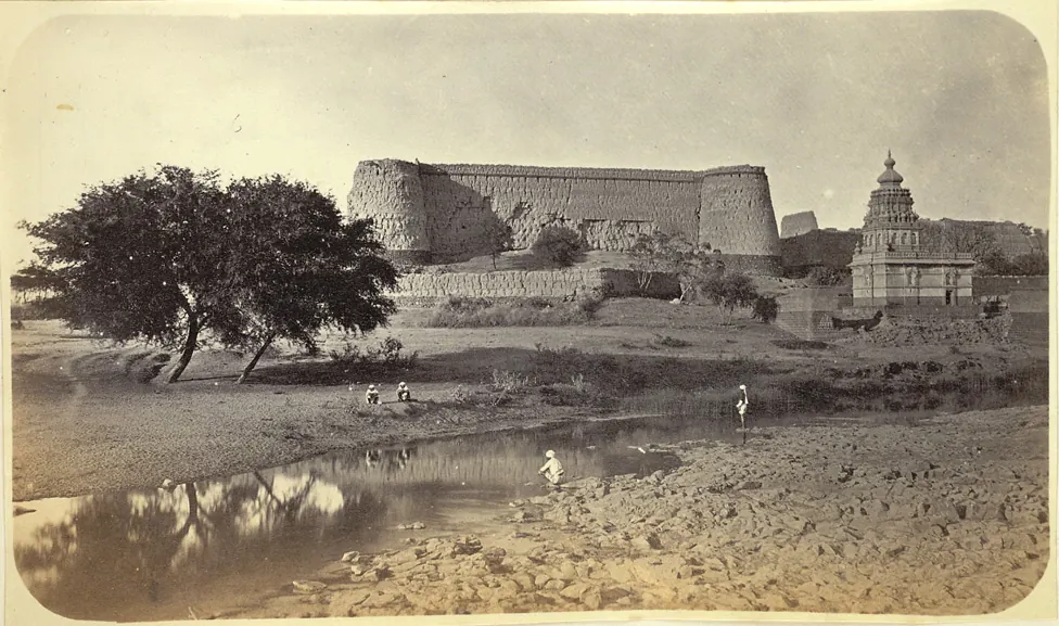
Narnala — documentary photograph

Akola / Hill fort

Narnala

Hill fort in Akola, within the Vidarbha region of Maharashtra.

View 1 photographs ↘Documentary photograph
Robert Gill · Original source · Public domain

YOUR EXPLORATION, AT A GLANCE

ModerateRecommended

The source describes temple remains, gateways, mosque, offering a useful introduction to this fort’s architecture.

View on map ⌖

District
Akola
Base / nearby village
Not yet verified
Nearby city
Not yet verified
Source elevation
Not documented

Location evidence needed to compare nearby cities.

THE STORY BEHIND THE STONE

Why Narnala
matters.

Narnala Fort was occupied by many Indian dynasties over the centuries, including the Yadava dynasty, the Rajgond rulers of Devgarh–Nagpur…

A short excerpt from the linked source account. A fuller editorial history is still being researched.

Rulers & historical periods +

Yadava, Bahmani, Nizam Shahi, Mughal, Maratha, British / East India Company

Recorded possession intervals may omit changes of control. Exact uninterrupted durations are not assumed from a ruler’s reign.
READING THE REMAINS

Architecture &
fort features.

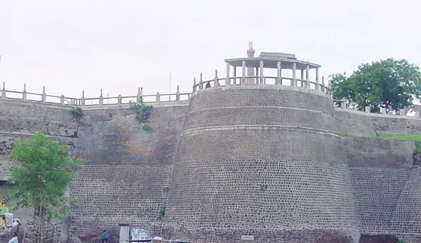
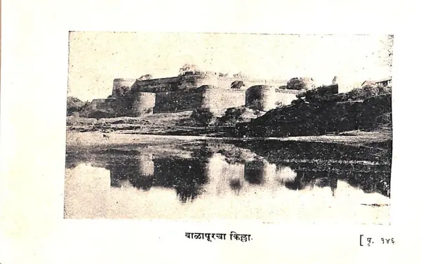
Explore features described in the historical source. Their surviving condition and access can vary.

01Temple remains +

Temple remains is recorded in the linked account of Narnala. Explore the historical sources ↗

02Gateways +

Gateways is recorded in the linked account of Narnala. Explore the historical sources ↗

03Mosque +

Mosque is recorded in the linked account of Narnala. Explore the historical sources ↗

04Palace remains +

Palace remains is recorded in the linked account of Narnala. Explore the historical sources ↗

05Water tanks +

Water tanks is recorded in the linked account of Narnala. Explore the historical sources ↗

Feature inventory only. A surveyed top-down plan is not yet available in this guide.

KNOW THE APPROACH

Plan your
exploration.

Moderate
  • The source assigns this grade but does not provide enough route detail to explain individual obstacles.

Akola is a large town well connected by roads and railways. Narnala is 66 kms from Akola. Akot is the taluka headquarters at 40 kms from Akola. From Akot Popatkhed the base village of Shahanur is at 20 kms. One has to pay an entrance fee at the forect office…

Assessment & safety notes +

Approach described in the linked field guide. Provisional — source guide, current conditions unverified.

Check current local access and weather before travelling. Carry water, use established routes, and leave stonework undisturbed. A map pin identifies the monument, not a safe trailhead or landing point.

Source review: 2026-11-15. Stars describe route difficulty; recommendations are separate editorial judgements. No community review counts are displayed.

KEEP THE JOURNEY GOING

More of Akola.

All forts ↗
Research sources & image credits +
  1. Narnala — history, geographical facts and references ↗
  2. Trekshitiz — field guide and source trek information ↗

Source review: 2026-11-15. Coordinates: Not verified.

Research approach and credits ↗