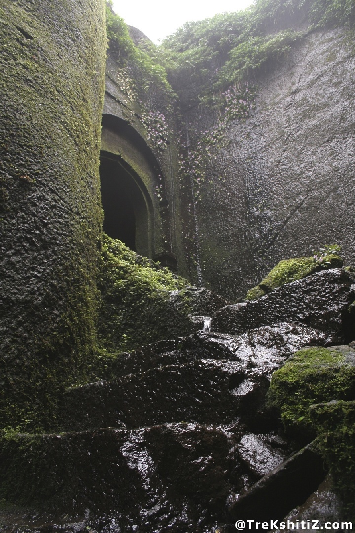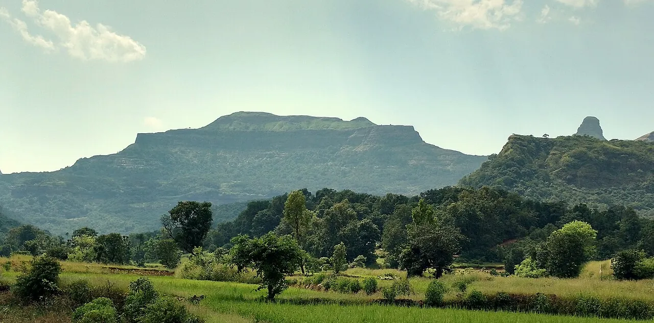
Ratangad — documentary photograph

Ahilyanagar / Hill fort

Ratangad

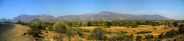
Ratangad overlooks the Bhandardara area and routes through the western hills.

View 9 photographs ↘Documentary photograph
Ccmarathe · Original source · CC BY-SA 4.0

YOUR EXPLORATION, AT A GLANCE

Difficulty Not Yet VerifiedVisit

A worthwhile local heritage study in Ahilyanagar; consult the source account to understand the remains and confirm access.

View on map ⌖

District
Ahilyanagar
Base / nearby village
Ratanwadi
Nearby city
Nashik
Source elevation
Not documented

Closest among 11 listed regional hubs by straight-line distance; not road distance. 56 km to the listed city.

THE STORY BEHIND THE STONE

Why Ratangad
matters.

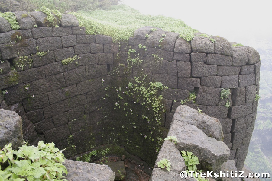
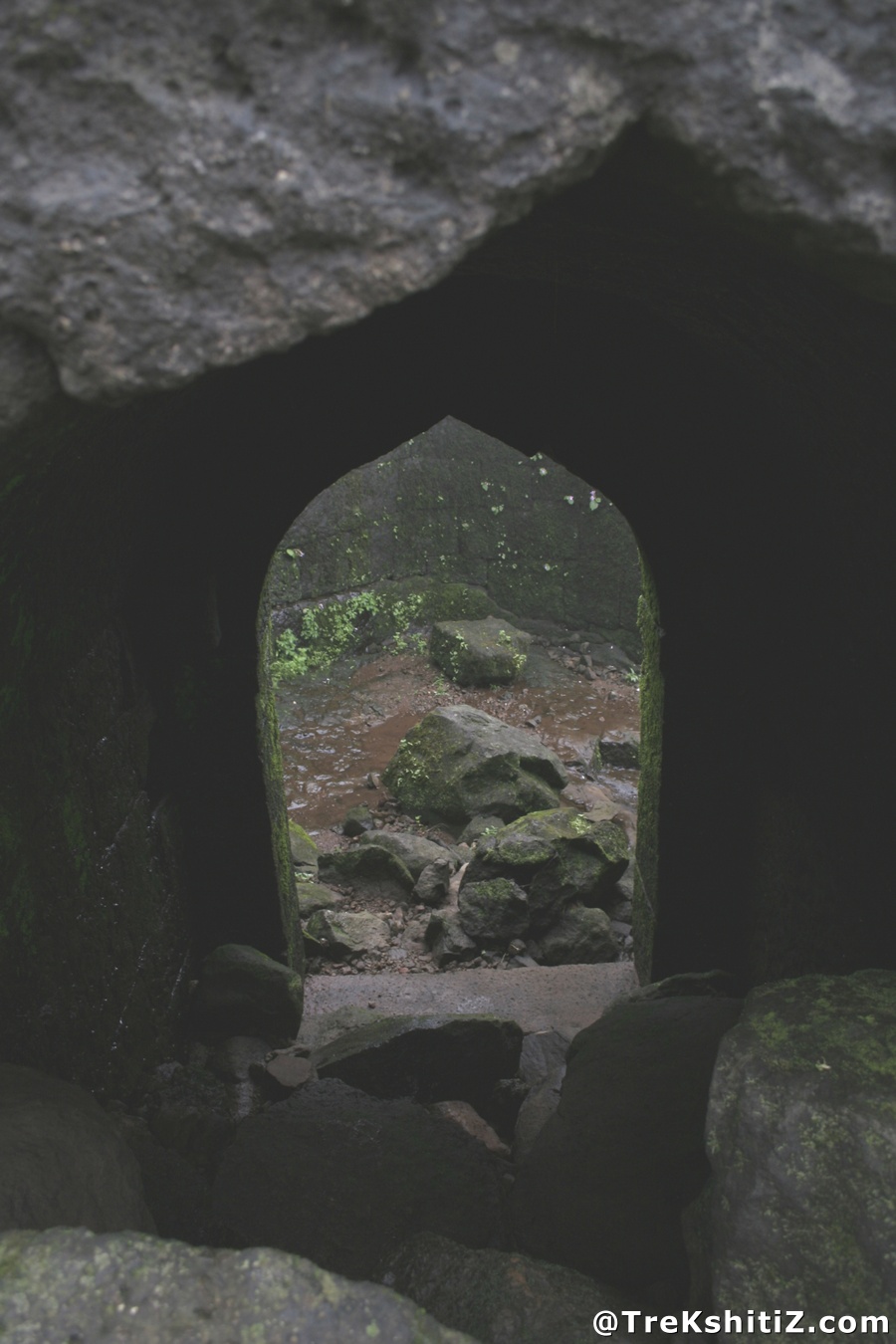
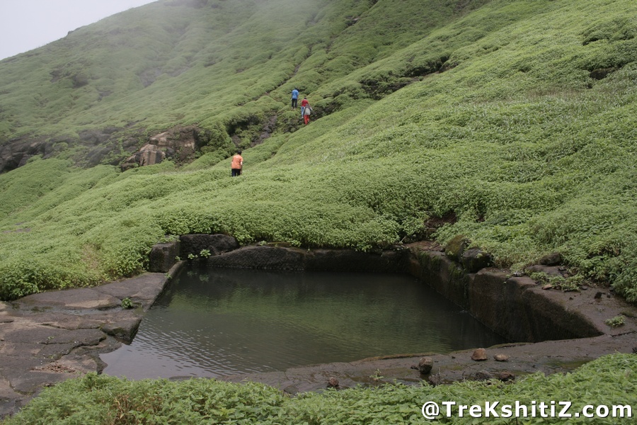
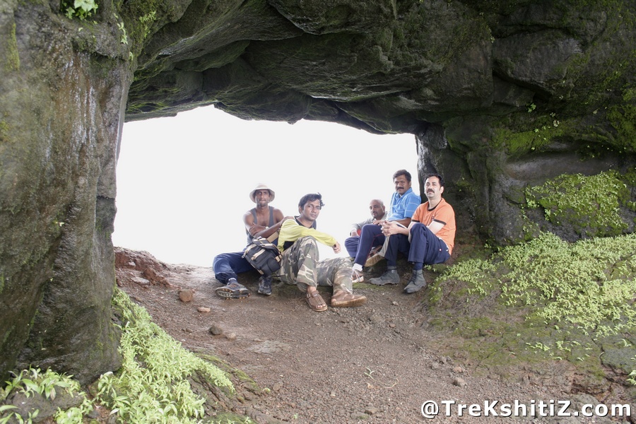
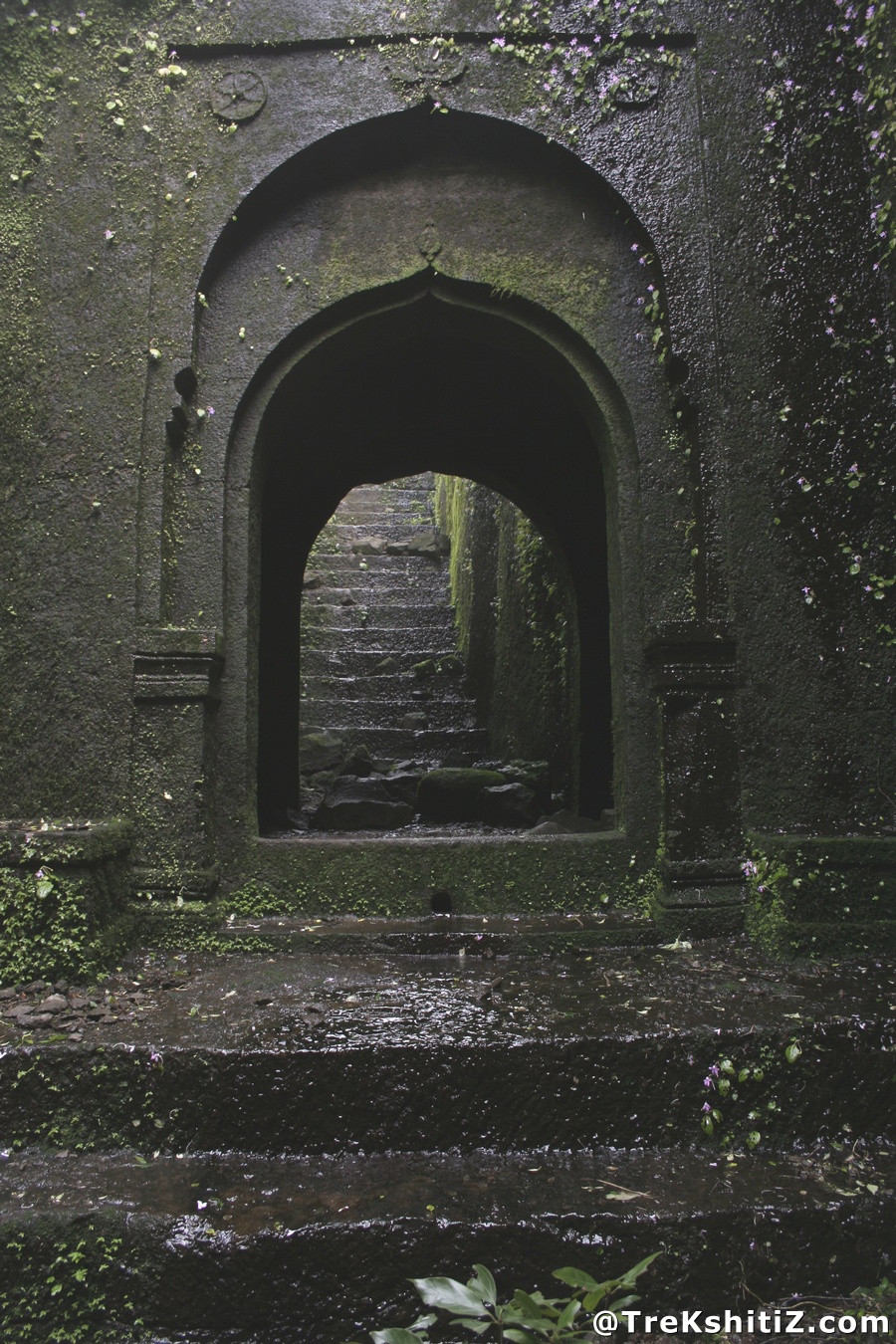
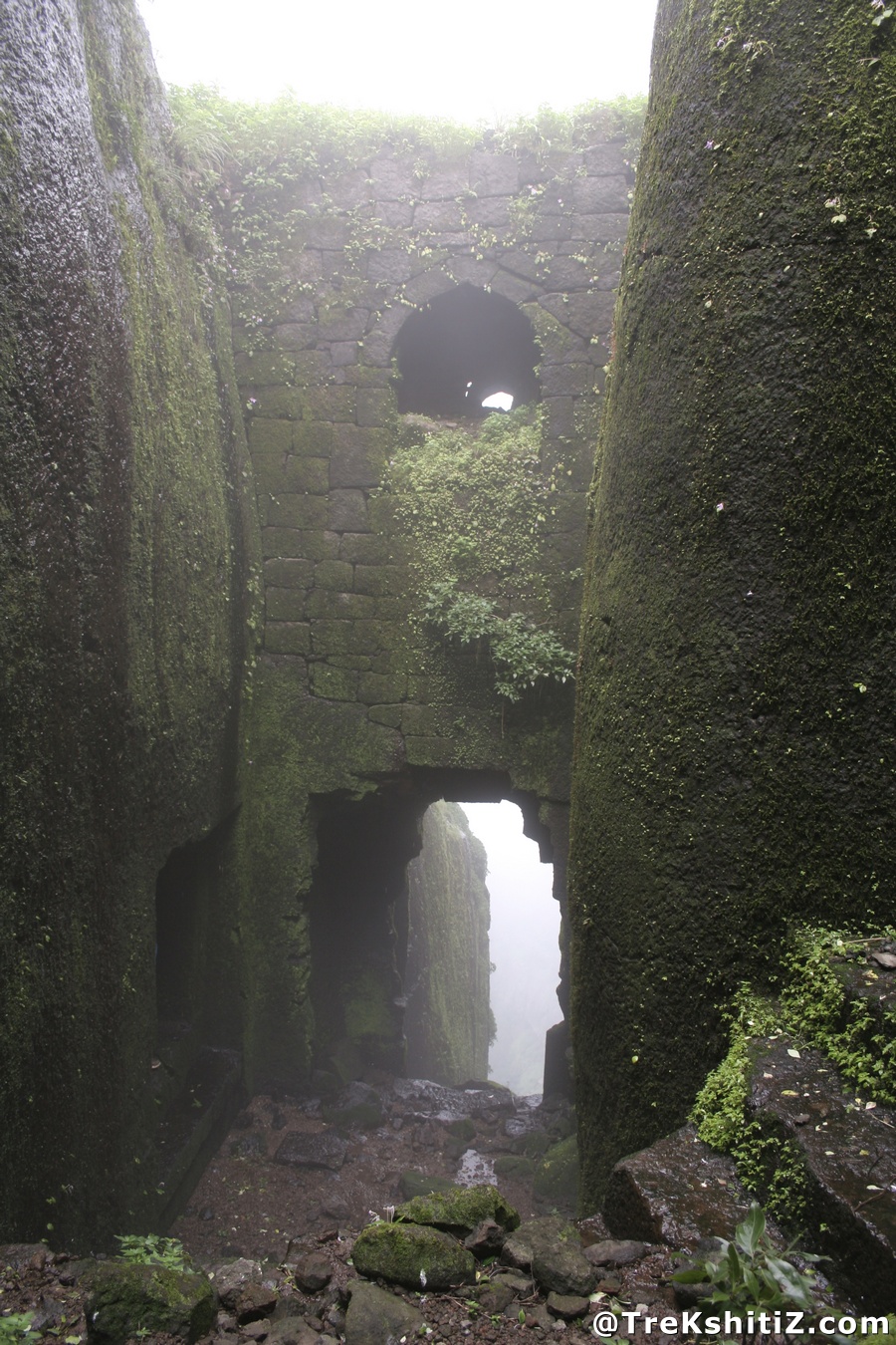
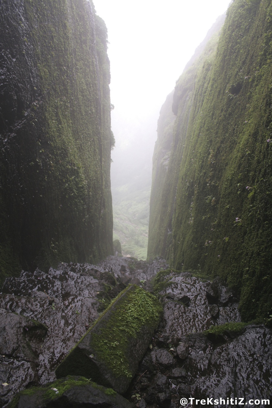
Ratangad overlooks the Bhandardara area and routes through the western hills. Its rock window, caves and gateways make it a distinctive mountain fort. The surrounding terrain helps explain its use as a watch point.

Rulers & historical periods +

Individual ruling powers have not been established in this entry.

Recorded possession intervals may omit changes of control. Exact uninterrupted durations are not assumed from a ruler’s reign.
READING THE REMAINS

Architecture &
fort features.

Explore features described in the historical source. Their surviving condition and access can vary.

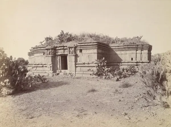
Architectural features await a reliable, fort-specific account.

Feature inventory only. A surveyed top-down plan is not yet available in this guide.

KNOW THE APPROACH

Plan your
exploration.

Difficulty Not Yet Verified
  • Reliable route evidence is insufficient for a numerical rating.

Detailed routes are not verified. Consult the source guide and confirm access locally.

Assessment & safety notes +

Not verified. Insufficient evidence.

Check current local access and weather before travelling. Carry water, use established routes, and leave stonework undisturbed. A map pin identifies the monument, not a safe trailhead or landing point.

Source review: 2026-11-15. Stars describe route difficulty; recommendations are separate editorial judgements. No community review counts are displayed.

KEEP THE JOURNEY GOING

More of Ahilyanagar.

All forts ↗

MAHARASHTRA TOURISM · BROCHURE GUIDE

Ratangad: heritage & nearby places

Ratangad is known for the Nedhe, a natural opening in the summit rock, and for its gates and Western Ghats views. The brochure presents it as a heritage trek in the Bhandardara landscape.

Landmarks to look for

  • Nedhe, the eye of the needle
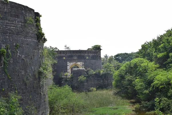
  • Ganesh Gate
  • Hanuman Gate
  • Trimbak Gate
  • Konkan Gate

Places in the wider area

  • Bhandardara

Brochure activity ideas: Explore the gates, Nedhe and hill views.

Travel distances from the brochure

Distances are reproduced as brochure figures, not current measured routes. The brochure is undated. Confirm routes and access locally.

By air
Nashik 72 km; Pune 79 km; Ozar 97 km; Mumbai Domestic 177 km
By rail
Ahmednagar 56 km; Nashik 72 km
By road
Ratanwadi 6 km; Bhandardara 23 km; Nashik 72 km; Mumbai 197 km

Source clarification: Several brochure airport/rail distances appear inconsistent with the fort’s location. The “personal favourite” tradition and capture claim remain attributed, not established facts.

Adapted from Maharashtra Tourism, Guardians of History — The formidable forts of Maharashtra, PDF pages 7. Read the original PDF ↗ · Explore all brochure forts ↗

Research sources & image credits +
  1. Ratangad — history, geographical facts and references ↗

Source review: 2026-11-15. Coordinates: Source-referenced.

Research approach and credits ↗