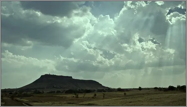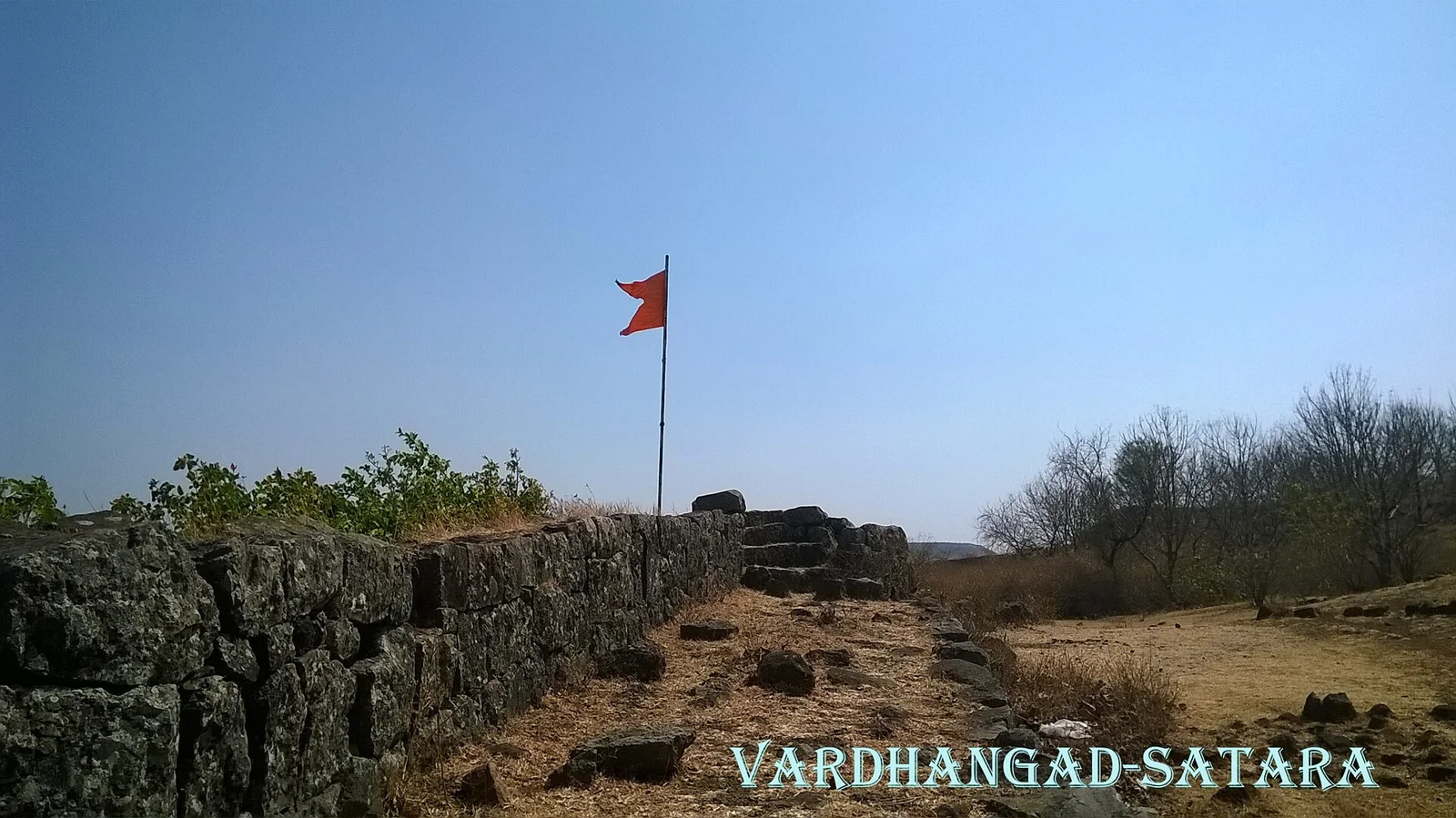
Vardhangad Fort — documentary photograph

Satara / Hill fort

Vardhangad Fort

Hill fort in Satara, within the Western Maharashtra region of Maharashtra.

View 9 photographs ↘Documentary photograph
Ccmarathe · Original source · CC BY-SA 3.0

YOUR EXPLORATION, AT A GLANCE

ModerateRecommended

The source describes temple remains, gateways, offering a useful introduction to this fort’s architecture.

View on map ⌖

District
Satara
Base / nearby village
Not yet verified
Nearby city
Satara
Source elevation
457m (1500 ft)

Closest among 11 listed regional hubs by straight-line distance; not road distance. 26 km to the listed city.

THE STORY BEHIND THE STONE

Why Vardhangad Fort
matters.

The construction of the fort was undertaken in 1673 by Chhatrapati Shivaji Maharaj and was finished in 1674. It was…

A short excerpt from the linked source account. A fuller editorial history is still being researched.

The historical source discusses Shivaji Maharaj; see the linked account for the specific episode.

Rulers & historical periods +

Maratha

Recorded possession intervals may omit changes of control. Exact uninterrupted durations are not assumed from a ruler’s reign.
READING THE REMAINS

Architecture &
fort features.

Explore features described in the historical source. Their surviving condition and access can vary.

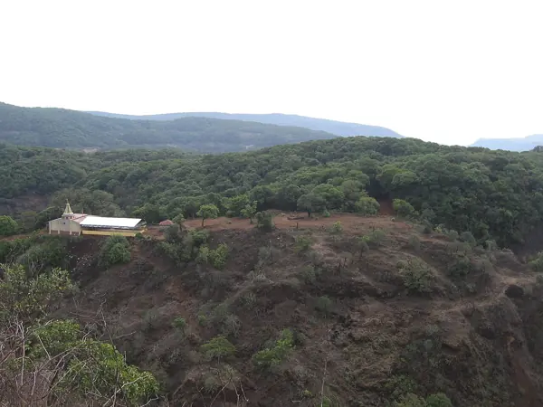
01Temple remains +

Temple remains is recorded in the linked account of Vardhangad Fort. Explore the historical sources ↗

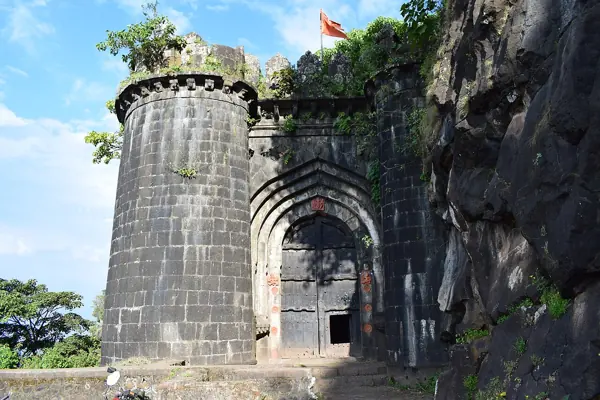
02Gateways +

Gateways is recorded in the linked account of Vardhangad Fort. Explore the historical sources ↗

Feature inventory only. A surveyed top-down plan is not yet available in this guide.

KNOW THE APPROACH

Plan your
exploration.

Moderate
  • The source assigns this grade but does not provide enough route detail to explain individual obstacles.

Vardhangad can be approached from Satara and Phaltan.1) Vardhangad village is 30 kms from Satara on the Satara-Pandharpur route. 2) Phaltan-Molghat-Pusegaon (total 41 kms) – Vardhangad village(7 kms).3) Phaltan-Dahiwadi-Pusegaon (total 45 kms) – Vardhangad village(7 kms).The entrance of the village is welcomed by two canons at its gates. The fortification…

Assessment & safety notes +

Approach described in the linked field guide. Provisional — source guide, current conditions unverified.

Check current local access and weather before travelling. Carry water, use established routes, and leave stonework undisturbed. A map pin identifies the monument, not a safe trailhead or landing point.

Source review: 2026-11-15. Stars describe route difficulty; recommendations are separate editorial judgements. No community review counts are displayed.

KEEP THE JOURNEY GOING

More of Satara.

All forts ↗
Research sources & image credits +
  1. Vardhangad Fort — history, geographical facts and references ↗
  2. Trekshitiz — field guide and source trek information ↗

Source review: 2026-11-15. Coordinates: Source-referenced.

Research approach and credits ↗